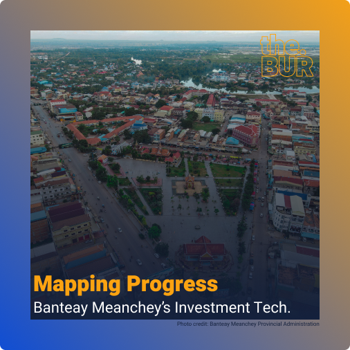
Mapping Progress: Banteay Meanchey’s Investment Tech
Nestled in the northwestern part of Cambodia, Banteay Meanchey province presents a unique blend of challenges and opportunities. This article explores the geographic, economic, and demographic aspects of this dynamic region, while highlighting the groundbreaking creation of Cambodia’s first GIS-based (geographic information system) digital data investment promotion platform. Geographic Overview Banteay Meanchey shares its western […]
Mapping Progress: Banteay Meanchey’s Investment Tech Read More »