
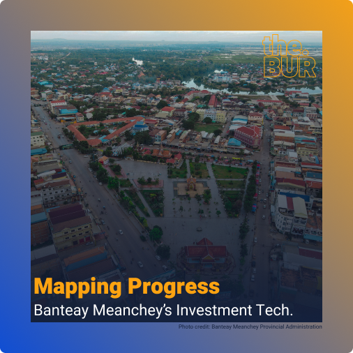
Nestled in the northwestern part of Cambodia, Banteay Meanchey province presents a unique blend of challenges and opportunities. This article explores the geographic, economic, and demographic aspects of this dynamic region, while highlighting the groundbreaking creation of Cambodia’s first GIS-based (geographic information system) digital data
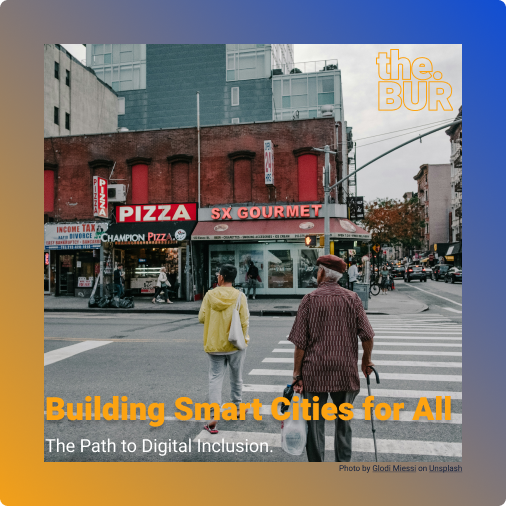
Smart City as a term made its first appearance in the early 1990s, and researchers have emphasised technology, innovation and globalisation in the process of urbanisation. According to British Standards Institute, they defined Smart Cities as “the effective integration of physical digital and human systems
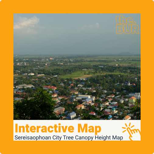
Sereisaophaon City Overview Sereisaophaon city is the provincial capital of Banteay Meanchey province. It has a unique layout compared to many of Cambodia’s provincial capitals. The city sprawls around four noticeable mountains: Phnom Svay, Phnom Chanhchang, Phnom Bek, and Phnom Klakon. In the southern part
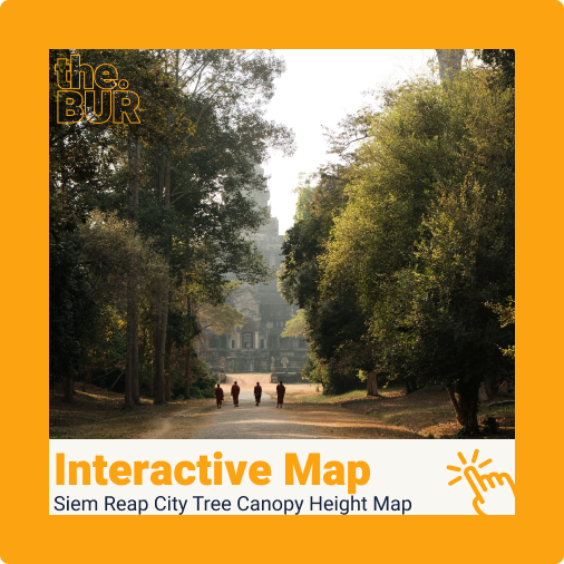
Siem Reap Overview Siem Reap is know for its Angkor Archaeological site, which features hundreds of ancient Khmer temples. Amongst these, Angkor Wat stands out as the largest religious monument in the world, attracting millions of tourists annually. Many of these temples are situated within
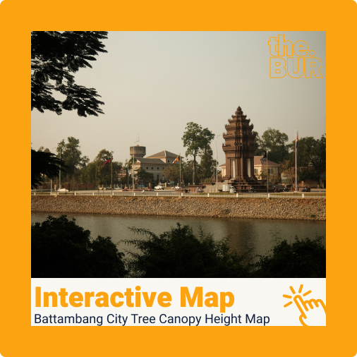
Battambang City Overview Battambang city is known for its well-planned colonial layout. The city centre is arranged in a gridiron pattern, reflecting its colonial heritage. The main attractions in Battambang city are its French shophouse architecture buildings, the Sangkae river quays, the local cuisine, and
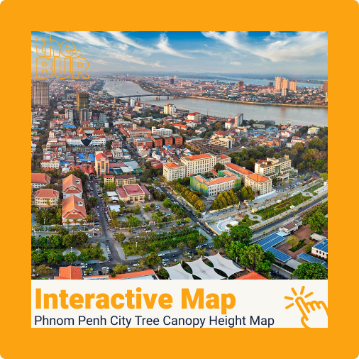
Phnom Penh Overview Phnom Penh is the capital city of Cambodia and is home to more than 2 million people. The city lies at the confluence of Mekong and Tonle Sap rirvers. Wat Phnom, an iconic landmark, is considered the founding site of modern Phnom
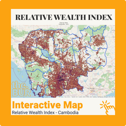
To quote directly from Meta’s Data for Good site, the Relative Wealth Index predicts the relative standard of living within countries using privacy-protecting connectivity data, satellite imagery, and other novel data sources. The map above presents the level of the standard of living nationwide in
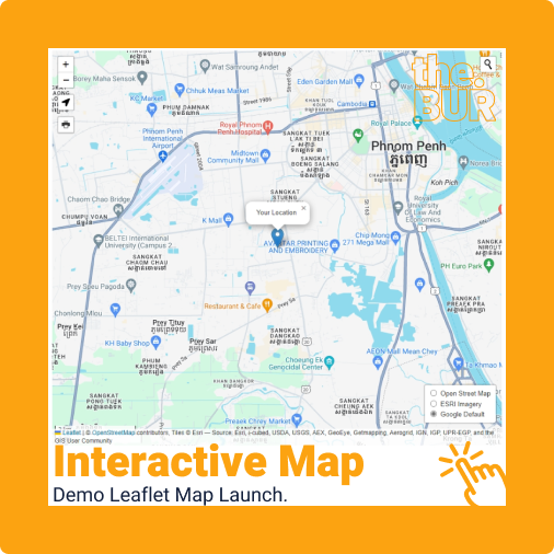
Leaflet stands as the premier open-source interactive web mapping tool of our time. Bringing Leaflet maps to this site has been a long-standing goal of mine, and I’m excited to present the demo above, showcasing some of its basic interactive features. In the realm of

There are 11 cities in this list, minus Brunei’s capital city. Originally, I intended to curate just only capital cities in south-east Asia (SEA) nations; however, a few countries such as Myanmar’s, Vietnam’s, and Indonesia’s secondary cities have greater populations than their capital city. Jakarta

These are the vector resources for those who may need them. The files contain multiple file layers such as urban blocks, roads, Khan (districts), Sangkat (communes), Phum (villages), and rivers. Link to QGIS project’s here