the.BUR

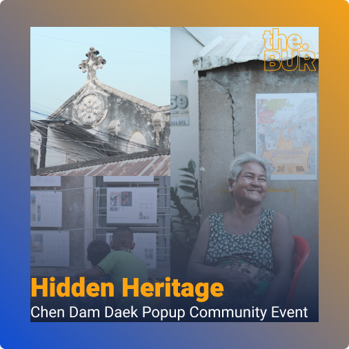
Hidden Heritage

Hidden Heritage – Chen Dam Daek Popup Community Event

Events and festivals play an important role in supporting economic growth, changing perceptions, and fostering social and cultural regeneration (Richards, 2017). They are often used as key components of placemaking programs to create opportunities for connecting places with people (Son et al., 2021). While the traditional focus of urban planning was on designing buildings and […]

Hidden Heritage – Chen Dam Daek Popup Community Event Read More »

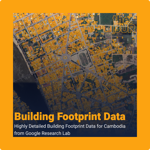
Building Footprint

Building Footprint Data: Highly Detailed Building Footprint Data for Cambodia from Google Research Lab

The Building Footprint dataset, produced by Google Research under the Open Buildings project, is a large-scale open-access dataset containing the outlines of 1.8 billion buildings across Africa, Asia, Latin America, and the Caribbean. Launched in 2021, the project covers about 40% of the globe and 54% of the world’s population​. The dataset was developed as

Building Footprint Data: Highly Detailed Building Footprint Data for Cambodia from Google Research Lab Read More »

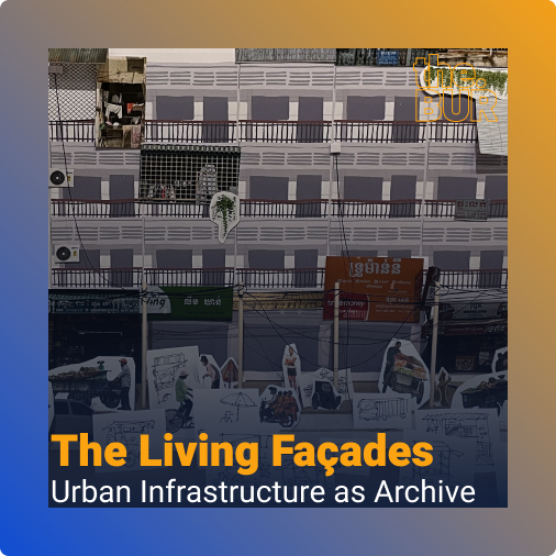
the living facades

The Living Facades: Urban Infrastructure as Archive

Humans are adaptable creatures, modifying their living environments to meet their needs. Historically, residential buildings were characterized by continuous changes driven by the evolving needs of their occupants (Konieczna, 2018). Architecture, too, has evolved and developed to serve the changing needs of societies. The social environment is constantly shifting, and architecture must adapt accordingly. These

The Living Facades: Urban Infrastructure as Archive Read More »

Mapping Progress: Banteay Meanchey's Investment Tech

Mapping Progress: Banteay Meanchey’s Investment Tech

Nestled in the northwestern part of Cambodia, Banteay Meanchey province presents a unique blend of challenges and opportunities. This article explores the geographic, economic, and demographic aspects of this dynamic region, while highlighting the groundbreaking creation of Cambodia’s first GIS-based (geographic information system) digital data investment promotion platform. Geographic Overview Banteay Meanchey shares its western

Mapping Progress: Banteay Meanchey’s Investment Tech Read More »

Smart Cities for All

Building Smart Cities for All – The Path to Digital Inclusion

Smart City as a term made its first appearance in the early 1990s, and researchers have emphasised technology, innovation and globalisation in the process of urbanisation. According to British Standards Institute, they defined Smart Cities as “the effective integration of physical digital and human systems in the built environment to deliver a sustainable, prosperous and

Building Smart Cities for All – The Path to Digital Inclusion Read More »

Sereisaophoan City Tree Canopy Height Map

Sereisaophaon City Tree Canopy Height Map

Sereisaophaon City Overview Sereisaophaon city is the provincial capital of Banteay Meanchey province. It has a unique layout compared to many of Cambodia’s provincial capitals. The city sprawls around four noticeable mountains: Phnom Svay, Phnom Chanhchang, Phnom Bek, and Phnom Klakon. In the southern part of the city, the Sereisaophaon river winds around almost the

Sereisaophaon City Tree Canopy Height Map Read More »