the.BUR

City Heritage Map

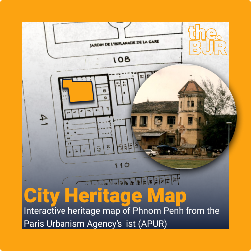
City Heritage Map: Interactive Heritage Map of Phnom Penh from the Paris Urbanism Agency’s list (APUR)

Cities need a mingling of old buildings to cultivate primary diversity mixtures, as well as secondary diversity. In particular, they need old buildings to incubate new primary diversity. Jane Jacob, the Death and Life of Great American Cities. My Personal View of This Project For the past few months, I have been digitising old maps […]

City Heritage Map: Interactive Heritage Map of Phnom Penh from the Paris Urbanism Agency’s list (APUR) Read More »

Building Footprint

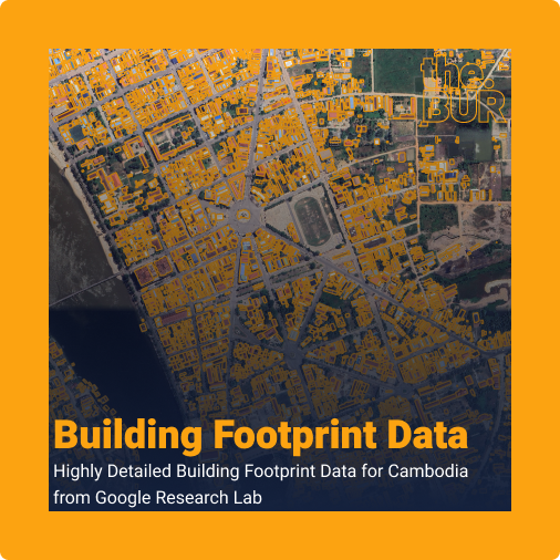
Building Footprint Data: Highly Detailed Building Footprint Data for Cambodia from Google Research Lab

The Building Footprint dataset, produced by Google Research under the Open Buildings project, is a large-scale open-access dataset containing the outlines of 1.8 billion buildings across Africa, Asia, Latin America, and the Caribbean. Launched in 2021, the project covers about 40% of the globe and 54% of the world’s population​. The dataset was developed as

Building Footprint Data: Highly Detailed Building Footprint Data for Cambodia from Google Research Lab Read More »

Sereisaophoan City Tree Canopy Height Map

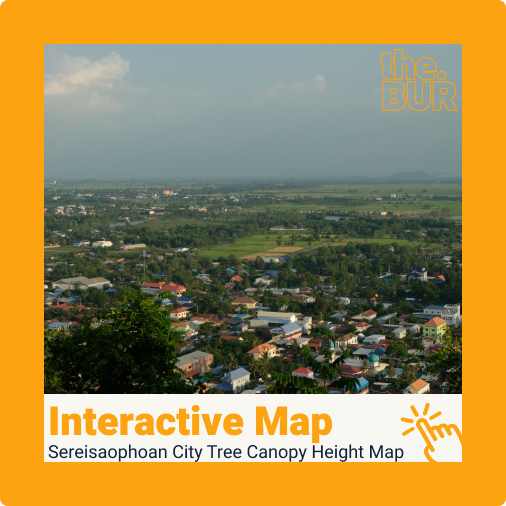
Sereisaophaon City Tree Canopy Height Map

Sereisaophaon City Overview Sereisaophaon city is the provincial capital of Banteay Meanchey province. It has a unique layout compared to many of Cambodia’s provincial capitals. The city sprawls around four noticeable mountains: Phnom Svay, Phnom Chanhchang, Phnom Bek, and Phnom Klakon. In the southern part of the city, the Sereisaophaon river winds around almost the

Sereisaophaon City Tree Canopy Height Map Read More »