

Public transportation mode such as bus network serves cities across the globe that moves a lot of people large numbers of people to their destinations. …
Cities need a mingling of old buildings to cultivate primary diversity mixtures, as well as secondary diversity. In particular, they need old buildings to incubate …
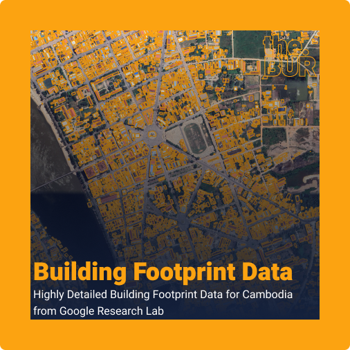
The Building Footprint dataset, produced by Google Research under the Open Buildings project, is a large-scale open-access dataset containing the outlines of 1.8 billion buildings …
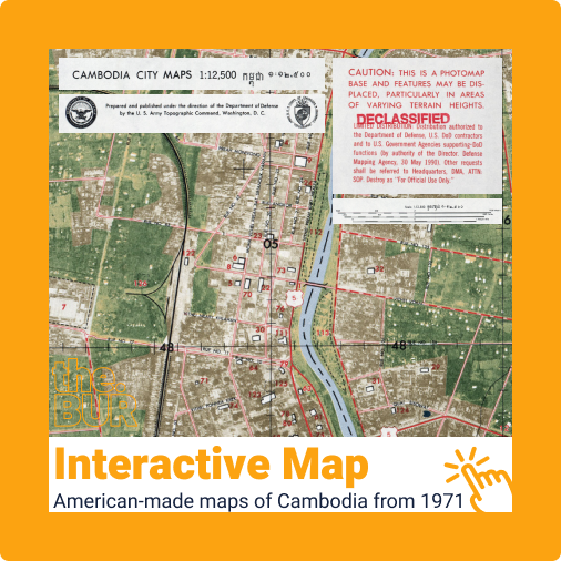
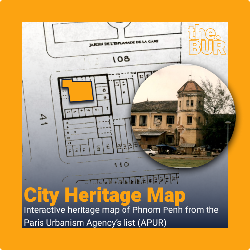
To me, old maps from the past reveal some of the most interesting features that I have never would have noticed in my city or …
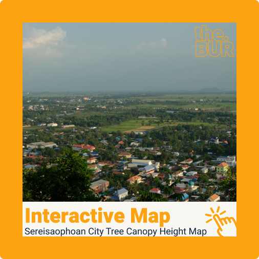
Sereisaophaon City Overview Sereisaophaon city is the provincial capital of Banteay Meanchey province. It has a unique layout compared to many of Cambodia’s provincial capitals. …
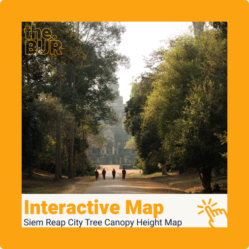
Siem Reap Overview Siem Reap is know for its Angkor Archaeological site, which features hundreds of ancient Khmer temples. Amongst these, Angkor Wat stands out …
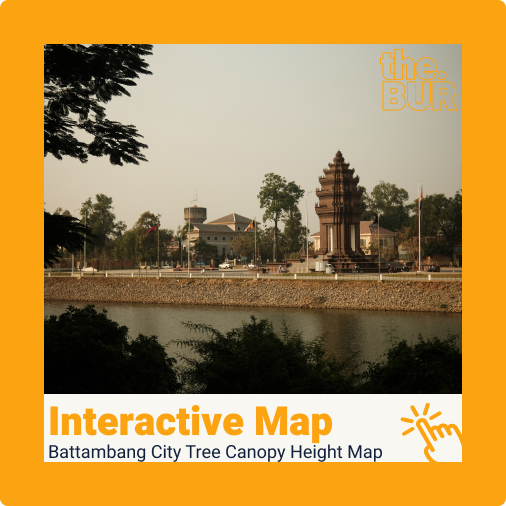
Battambang City Overview Battambang city is known for its well-planned colonial layout. The city centre is arranged in a gridiron pattern, reflecting its colonial heritage. …
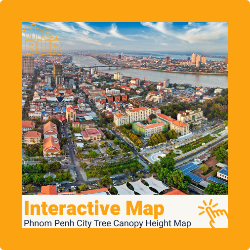
Phnom Penh Overview Phnom Penh is the capital city of Cambodia and is home to more than 2 million people. The city lies at the …
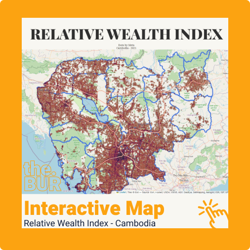
To quote directly from Meta’s Data for Good site, the Relative Wealth Index predicts the relative standard of living within countries using privacy-protecting connectivity data, …
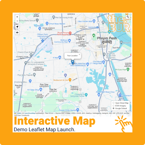
Leaflet stands as the premier open-source interactive web mapping tool of our time. Bringing Leaflet maps to this site has been a long-standing goal of …